By: Menasheh Fogel, creator of continental-divide.eu
The Continental Divide is a well known attraction in the United States, with well marked trails, maps and tourist points of interest. The European Continental Divide is not as well known, but there’s a continental divide in Europe, too. In fact, given that the continent is surrounded by different oceans, there are many.
Since there are very few well marked routes, finding the continental divide in Europe is not such an easy task. Integrating multiple publicly available data sources from water management agencies, I created a comprehensive shapefile which depicts the european continental divide at a detailed topographical level from Gibraltar to the Arctic Circle and from the tip of Scotland to the Ural Mountains. However, in order to hike along the continental divide, you need to be able to combine this shapefile with a topographical map showing accessible trails, a GPS and an offline capability. All of these ingredients come together in the mapitGIS Spatial app, making it possible to take a walk along the European Continental Divide.
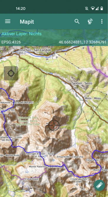
I recently made the switch to Android and the mapitGIS Spatial app is the best GIS app for the platform I’ve found. The app is intuitive and provides almost everything one could ask for in a mobile GIS. With the European Continental Divide feature set, integrating the features is easy using the GeoPackage (gpkg) format generated from a desktop GIS, such as QGIS. The features load quickly on the map, even with tens of thousands of points.
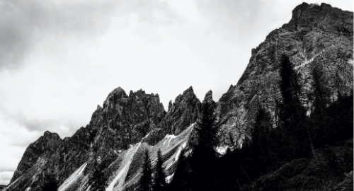
The app ships with many preinstalled map backgrounds. The Open Topo Map is particularly useful to show how geological features make up the continental divide, where natural high points split the continent between different oceans.
The app ships with many preinstalled map backgrounds. The Open Topo Map is particularly useful to show how geological features make up the continental divide, where natural high points split the continent between different oceans.
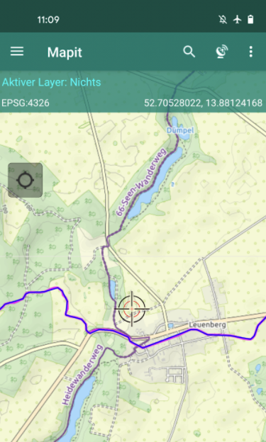
The app supports other XYZ services so that you can use a wide array of other map backgrounds. I use the Thunderforest Outdoor map, as the hiking trails are marked and labeled, making navigation easy.
Offline maps are easy to create by generating mbtiles in a GIS and importing them on the phone.
Lastly, the measuring tool is very helpful for hiking. During the course of a day, you can gauge whether you can actually reach that peak, or maybe just turn around and head for home.
Especially noteworthy is the constantly expanding usability of the mapitGIS Spatial app. I particularly like the approach from Andrzej to integrate customer suggestions.
A detailed topographical map of the European Continental Divide is available at continental-divide.eu. The geopackage is available for free download at continental-divide.eu/downloads/.
Happy Trails!