Applying Styles
Rendering features using styles applied to field values. There are 2 ways of defining the style for map objects in Mapit Spatial: Default symbology for the layer can be set in Layer Management –...
![]()
Enhanced productivity and spatial data management
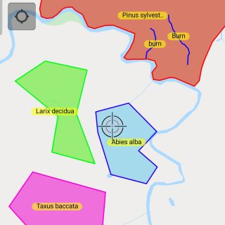
Rendering features using styles applied to field values. There are 2 ways of defining the style for map objects in Mapit Spatial: Default symbology for the layer can be set in Layer Management –...
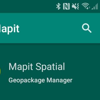
Mapit Spatial is capable of exporting the data directly to PostgreSQL database. The remote database must have PostGIS extension installed and username used must have necessary permissions to create/update spatial tables. There are 3...
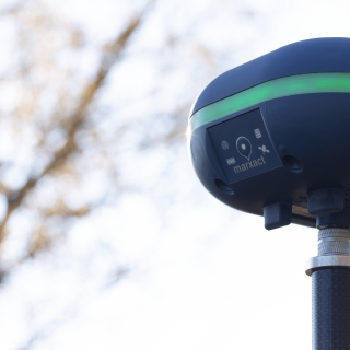
External GNSS connections allows to utilise accurate location provided by high-quality GNSS receivers. In theory Mapit Spatial can be connected to any Bluetooth or TCP enabled device streaming the data using NMEA standard. If the device is capable of...
Mapit Spatial is a GIS app designed to support GPS/GNSS data collection and any kind of GPS/GNSS based surveys. It’s a mobile GIS tool for land and field surveyors and anyone dealing with environmental...

Good news! With New Year we are happy to announce the introduction of brand new product developed by our team. Following the industry standards evolvement and number of requests from our users to allow...